
What Lafayette Neighbor Records Show
A Lafayette block search starts with the difference between a parcel and a household. County systems can identify land geometry, an assessment parcel, a recorded instrument, or a permit event. A civic group may maintain a voluntary contact list, but no complete homeowners' association (HOA), congregation, or block roster was verified. The sources below answer different questions, and none should be described as a full list of people living around an address.
| Source | What It Shows About a Block | Access |
|---|---|---|
| CCMAP | Adjacent assessment parcel numbers, parcel polygons, aerials, contours, and radius selection | Free GIS viewer; no owner names |
| Assessor counter | Owner, mailing, and situs fields for selected APNs | Counter access; protected entries withheld |
| Community View | Homeowners' association, street, zoning, flood, and public or private street context | Unsupported since 2018; use CCMAP as fallback |
| Recorded maps | Subdivisions, surveys, corners, and shared property geometry | Public Works online; property evidence, not household evidence |
| RecorderWorks | Recorded instruments for a known owner or party | 1986-present index; not an address-browse tool |
| Accela | Nearby building permits and status history from 1980 | Free status/history; documents by request |
| Neighborhood Watch | Voluntary block network and consent-based contact practice | City program; no public resident roster |
CCMAP can show a target parcel and the polygons around it, but the web map suppresses owner names. The Assessor counter can answer an owner or mailing question for selected APNs, subject to protected-record limits. A mailing field may point to an agent, trust, business, or correspondence address. It is not a household count. A recorded map may explain why two houses seem close while a flag lot, creek parcel, access strip, or right-of-way separates them.
The nearby-household question is therefore layered. The map establishes which properties sit nearby. The roll identifies the public owner field where available. A deed establishes a legal party and property connection. A permit dates work. A voluntary association can provide a consent-based contact route. Occupants, children, guests, caregivers, and other people connected to a property may not appear at all.
Map Lafayette Parcels Beside One Address
The adjacent-parcel process begins with a known street address, not a person. CCMAP uses address autocomplete, so wait for the suggestion and select it before clicking the parcel. Retain the nine-digit APN that appears with the parcel result. If an address fails, search nearby and inspect the polygons instead of treating a missing autocomplete result as proof that no parcel exists.
- Enter the target address in CCMAP and select the offered autocomplete result.
- Click the parcel, record the APN, and inspect its boundary, aerial view, and assessment context.
- Pan and zoom to click touching or near polygons one at a time; use contours to understand Lafayette's hills and access strips.
- Use the radius selection when a measured area is more useful than a visual block, then keep the selected APNs together.
- Take the APN list to the Assessor counter if owner, mailing, or situs fields are needed.
This workflow identifies nearby land, not every person nearby. A parcel that looks adjacent from the road may be separated by a legal strip or a different access route. For a whole named street and its current record chain, use the Lafayette by-street directory rather than expanding a block search into an unsupported street roster.
Free GIS Radius Versus a $50 Counter Search
Contra Costa offers two useful ways to define a nearby area. The free CCMAP viewer lets a researcher select a radius and inspect the parcels inside it. The Assessor also prepares a radius search at a $50 charge. These products describe a geographic selection, not a ready-made block list. The second step remains essential: preserve the APNs, then ask the Assessor counter about the selected public owner, mailing, and situs fields.
Radius tip. Use the free map to test the shape and size of a block before paying for a prepared radius. A map radius can include parcels divided by a creek, road edge, or shared access strip.
In a hilly Lafayette area, aerial and contour layers add context that a circle alone cannot. A nearby rooftop may not have practical street access from the target address. Community View once supplied HOA, zoning, flood, and street context, but the City warns that it has been unsupported since 2018. CCMAP and recorded subdivision or survey material are the safer current path.
Lafayette Boundaries Need APNs and Recorded Maps
APN means assessor's parcel number. It is the assessment key that lets a selected polygon move into the roll, map, or deed workflow. Situs means the address assigned to a property. A legal description is the deed's land description, which can remain useful when a mailing line, ZIP, or parcel number changes. Parcel adjacency means that boundaries touch on a map; it does not say that front doors face each other or that the people connected with the parcels know one another.
- APN
- A nine-digit assessment identifier, such as the format shown by CCMAP, used to bridge a map selection to county records.
- Situs address
- The location assigned to the parcel. It is not the same field as an owner mailing address.
- Recorded map
- A subdivision, parcel, survey, or corner record that preserves property geometry and reference points.
- Legal adjacency
- A boundary relationship established by parcel geometry, not a guess based on rooftops or the nearest driveway.
Public Works maps can bridge current and archived assessor pages, subdivision references, parcel-map references, records of survey, and corner records. RecorderWorks can then search a known owner or party by name, document, date, legal description, or APN. It does not promise a street or radius result. The order matters: map first, APN second, named instrument third.
Note: A legal boundary can be clear while the people connected to the property remain unknown or protected.
The Voter Directory Myth About Lafayette Neighbors
California's voter file contains residence, mailing, and precinct fields, but lawful access rules control the entire system. My Voter Status is an identity-matched self lookup, not a public names-by-address search. An approved voter-file requester must fit a permitted election, scholarly, journalistic, political, or governmental purpose under Elections Code §2194 and provide identity, contact, organization, security, and use details. The file can contain name, date of birth, registration date, residence and mailing address, precinct, contact information, party preference, and optional activity history.
History files show an election, date, and method, never ballot selections. District files show precinct and district number or type. Driver or state-ID numbers, the last four Social Security digits, unique identifiers, and signatures are excluded. Protected voters under Elections Code §§2166-2166.8 and preregistered minors are excluded. Elections Code §18109(b) penalizes unauthorized use. A block-level search therefore cannot promise a complete roster from voter data.
Voter boundary. A lawful voter-file use can answer an approved civic question, but My Voter Status cannot be turned into a list of names at nearby addresses.
Lafayette Neighborhood Watch Relies on Consent
Lafayette Neighborhood Watch supplies a community-scale model without pretending to be a public directory. The City's definition of a block is 12 to 20 homes. Meetings are held Tuesday at 7 p.m. The weekday program schedule asks for about three weeks' notice, and Police can handle about two meetings each month. A City newsletter describes voluntary directories of consenting names, phone numbers, and email addresses, updated each year and when new arrivals join.
Those details describe how residents can choose to exchange contact information. They do not establish that every home participates, that a listed person still belongs to the block, or that a non-listed person is absent. The group is a voluntary safety network, not a county roster. Personal outreach and consent are the appropriate route for current contact information.
Community context can still help explain a block. A neighborhood association may reflect a shared road, hillside, or subdivision boundary, while an official map records the legal parcels. Keep those layers separate. A group contact can describe its own membership rules, but a researcher should not expand an officer or contact name into a member list.
Civic Contacts Around Lafayette Blocks
The Contra Costa County Clerk is an official records contact for county clerk and recorded-document routes, not a source for neighborhood membership. Its public office entry point helps separate a custodian from a community group.
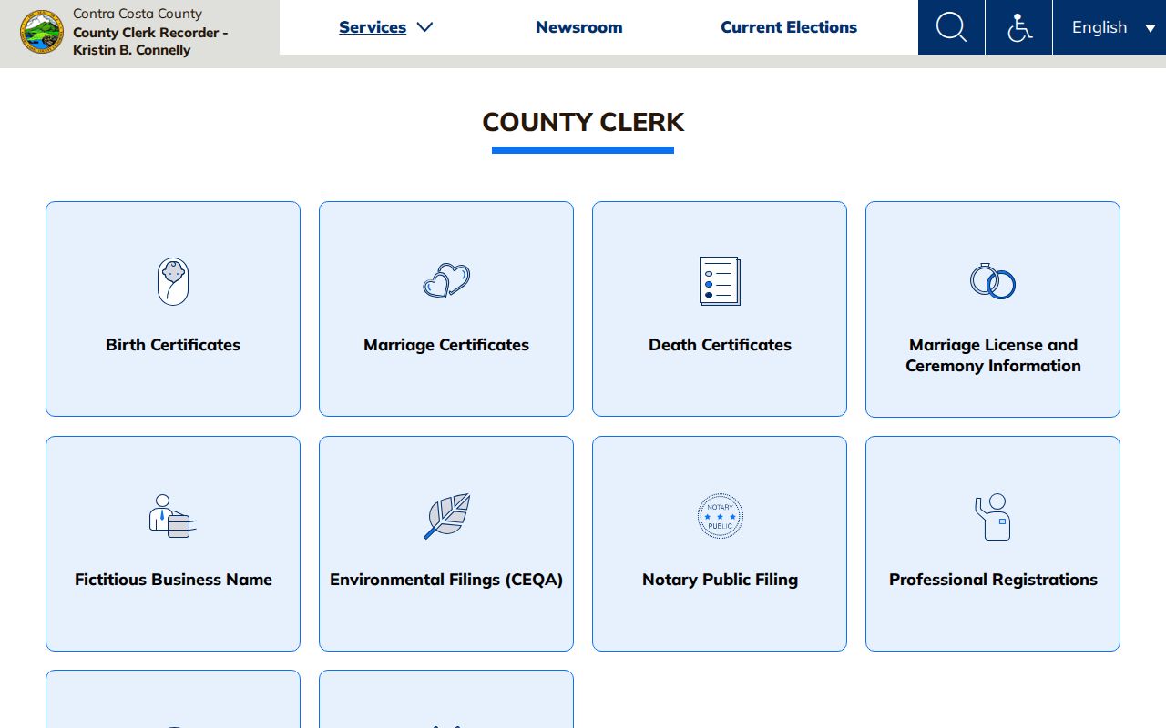
The County Clerk image reinforces the access distinction: an official records counter can explain a filing or direct a request, while a block contact list belongs to the people who consented to maintain it.
| Association or civic group | Verified local layer | Public member directory |
|---|---|---|
| Happy Valley Improvement Association | Active Lafayette community association | No public member directory found |
| Friends of the Library | Library and civic contact layer | No public household roster verified |
| Lafayette Historical Society | Local history, oral histories, maps, and names | No public membership roster verified |
| Lamorinda Village | Community support and civic layer | No public member directory verified |
| Rotary | Civic organization | No public member directory verified |
| Assistance League | Service organization | No public member directory verified |
| Sustainable Lafayette | Local civic organization | No public member directory verified |
These groups can help with civic context or a voluntary introduction, but they are not substitutes for parcel evidence. No complete HOA, congregation, veterans, fraternal, or block-watch roster was verified. A community contact should be treated as a lead that requires consent and current confirmation.
Restricted Systems Are Not Lafayette Neighbor Rosters
California Megan's Law is a separate official public-protection registry, not a neighborhood directory. The site displays a disclaimer, updates from local registration daily, and varies the public display level: some records show a full address, while others show only a ZIP, city, county, or no posting. Mistaken identity and incomplete data are possible. The registry must be used only for public protection, and harassment or misuse can carry specific consequences under Penal Code §290.46(j).
The California Megan's Law registry shows the disclaimer and search entry that govern any lawful use of the public display.
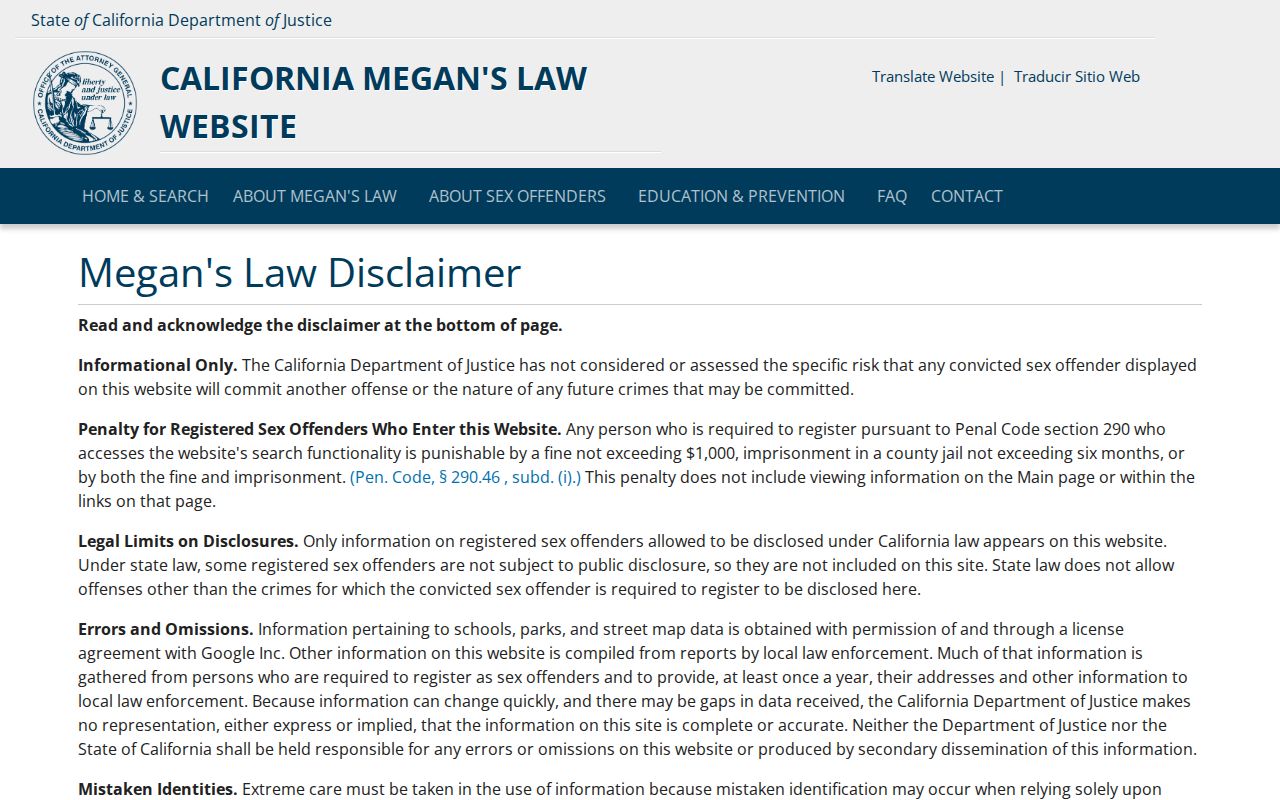
A registry result is a restricted public-safety record with its own display rules. It cannot be combined with a parcel map to infer the identity of every Lafayette neighbor.
County custody information is another separate system. The Contra Costa custody lookup and the Sheriff's 24-hour Custody Services line at 925-646-4496 may answer a custody question, but they are not neighbor rosters. County, state, and federal custody systems do not overlap, and the Sheriff does not publish warrant information as a public neighborhood list.
The custody image belongs to that restricted access channel. Treat a missing result as a limit of the system, not as proof about a person's address or status.
Official Records Versus Commercial Neighbor Tools
Official systems and commercial compilation services answer different questions. County maps, assessment records, recorded instruments, permits, and lawful civic files each have a named custodian and a defined field set. Commercial tools may combine public and purchased data, charge for access, lag behind corrections, or merge same-name records. They can be useful only as a prompt to verify a claim at the source, never as the final authority for who belongs to a Lafayette block.
| Question | Official county or state record | Commercial compilation category |
|---|---|---|
| Where did the address signal come from? | Named map, roll, deed, permit, voter, or civic custodian | May combine sources without showing the current field owner |
| What can be corrected? | Ask the office that created or holds the record | Request a correction from the compiler, then verify the source |
| How current is it? | Depends on map, filing, permit, or roster update cycle | May lag a filing, deletion request, or address change |
| What does a name match prove? | Only the relationship stated by that record | May merge people with similar names or old addresses |
| How should it be used? | Follow the governing access rule and lawful purpose | Do not treat a paid compilation as an official roster |
Privacy Limits When Looking Up Lafayette Neighbors
A parcel map does not show every occupant, child, roommate, caregiver, guest, or protected person connected with a property. Utility subscribers, delivery records, and DMV addresses are not public substitutes. Safe at Home and voter confidentiality can explain why a legitimate address is absent or replaced. Protected assessment entries may also be withheld. Even when an owner mailing field matches the situs, that supports a possible connection rather than proving who is present.
Use the official source record for the narrow question it can answer. A recorded map can settle a line. An assessor field can identify a public owner or mailing entry. A Neighborhood Watch group can share a consenting contact. Megan's Law and custody tools have separate public-protection or custody limits. None of those channels authorizes a complete block roster.
Note: Privacy gaps are part of the record's meaning, not evidence that a protected person or household is absent.
Lawful use. Lafayette neighbor research is for personal, lawful block knowledge, reconnection, civic participation, and safety awareness. Do not watch, follow, stalk, harass, intimidate, or publish identifying details to cause unwanted contact; California Penal Code §§646.9, 653.2, and 530.5 and Elections Code §18109(b) impose legal limits.
A careful block search ends with a bounded statement: which parcels were selected, which office supplied each field, what the record proves, and what remains private. That approach respects both the geography of Lafayette and the people who live around it.